 New
New
 Free
Free
 Home
Home

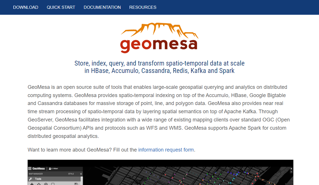
GeoMesa is a powerful and comprehensive open source software library designed to facilitate spatio-temporal analytics. Developed by LocationTech, this innovative technology offers developers and analysts the ability to process large amounts of geospatial data in real-time. With its advanced features and flexible architecture, GeoMesa allows users to perform complex spatial querying, indexing, and visualization operations on massive datasets. Whether you're an analyst, developer, or researcher, GeoMesa provides the tools you need to effectively work with geospatial data at scale.
Usage: Writing
Pricing: Contact for Rates - Open source
Tags: visualization real-time processing indexing massive datasets open source software
For more information, jump to:
Screenshots | Videos | Similar Tools | FAQs | Pros and Cons | Facts | Contact Info


Product Screenshots
Video Reviews
Similar Tools to GeoMesa
-
Design AI networks, assign roles, and transition between idea generation and evaluation. Perfect for content creation or critique. Your streamlined AI experience on a user-friendly UI, entirely open source.
 Free
#Content Generation
Free
#Content Generation
-
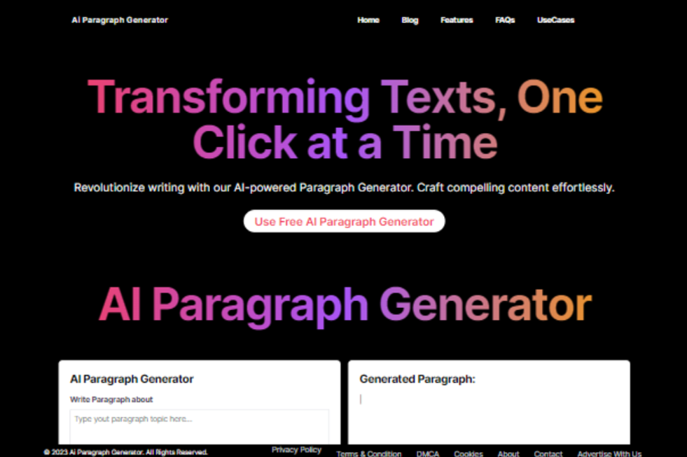
The AI Paragraph Generator offers a seamless and efficient way to produce written content for a multitude of purposes. This powerful tool utilizes artificial intelligence, specifically natural language processing and machine learning algorithms, to generate coherent and contextually relevant text. It has found its place in various fields, from content marketing and SEO optimization to creative writing and academic assistance.<br /> By simply providing a topic or input, the AI Paragraph Generator can rapidly generate paragraphs that not only maintain consistency but also adhere to SEO best practices. The integration of keywords and phrases is effortlessly managed, enhancing the chances of content ranking higher on search engine results pages. This tool can be a game-changer for individuals and businesses seeking to maintain an active online presence.<br /> <br /> Beyond its utility in content marketing, AI Paragraph Generators have proven valuable in academic settings. They assist students and researchers in generating well-structured and informative essays and research papers, allowing them to focus on research and critical thinking rather than the writing process itself.<br /> <br /> For creative writers, AI Paragraph Generators serve as a muse, inspiring and providing ideas for fiction, poetry, and various creative non-fiction projects. They can help overcome writer's block and experiment with storytelling, thus nurturing the creative process.<br /> <br /> In summary, the AI Paragraph Generator is a versatile tool, offering efficiency and productivity in content creation. It finds applications in SEO optimization, academic writing, creative content production, and more, making it a valuable asset for individuals and businesses alike.
Free
#Content Generation
-
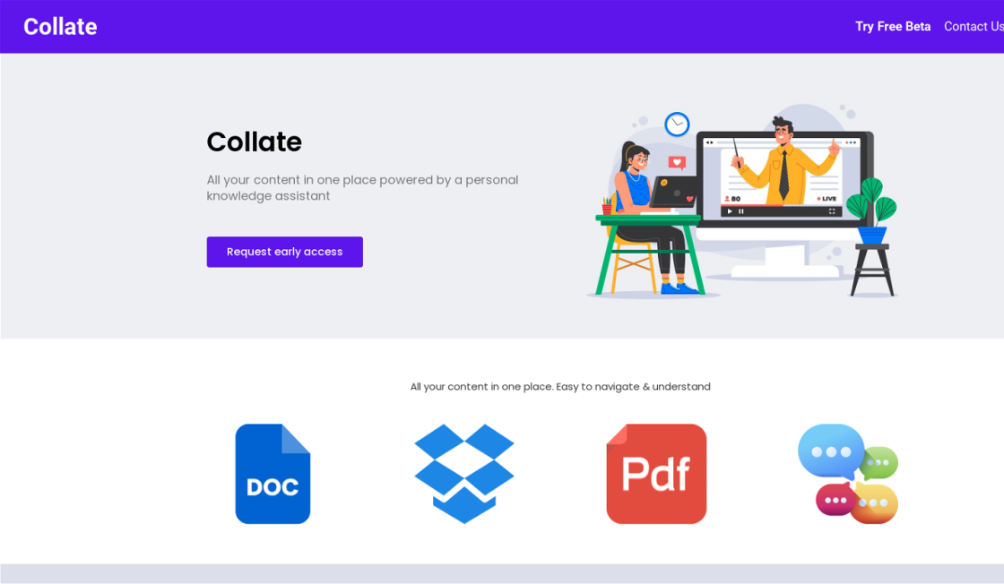
Ucollate is a knowledge management platform designed to streamline content organization. This platform enables users to consolidate their various sources of information, such as emails, documents, and PDF files from platforms like Google Drive, Gmail, Dropbox, and more. One notable feature of Ucollate is its natural language processing capability, allowing users to effortlessly search for specific content within their database using everyday language. By offering this intuitive search function, Ucollate ensures that users can quickly access the most relevant information they need, thereby enhancing productivity and efficiency in their work processes.
Contact for Rates
#Content Generation
-
Top SEO Kit is a comprehensive online platform designed to assist businesses, freelancers, and individuals with all their search engine optimization and website analysis requirements. This intuitive platform offers an extensive range of free and valuable SEO tools and services that help users optimize their website's performance, ultimately skyrocketing organic traffic. With Top SEO Kit, users have access to a suite of digital marketing and SEO tools that provide them with accurate insights into their website's performance, making it easier to make informed decisions and take the right steps towards improving their website's visibility on search engines.
Contact for Rates
#Content Generation
-
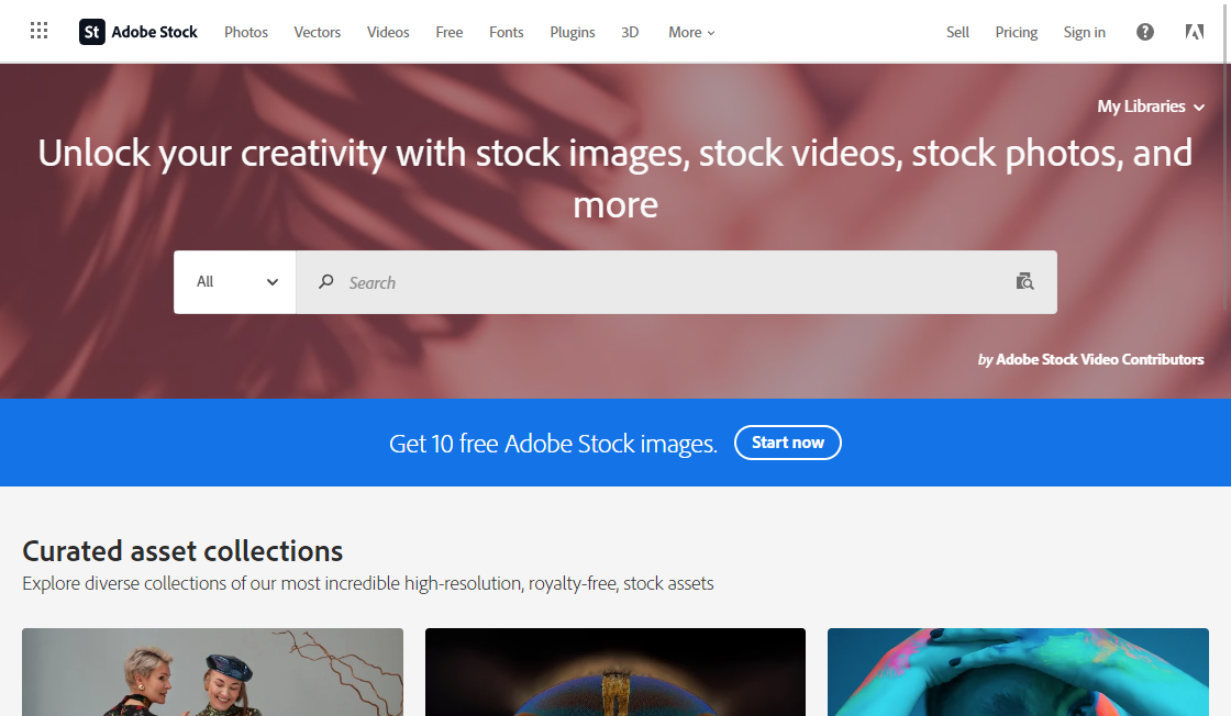
Adobe Stock is a leading online platform that provides a vast collection of high-quality digital resources, including photos, illustrations, and videos. This platform offers an extensive range of royalty-free assets that can be used in various web, print, and video projects. Whether you are a professional designer or a casual user, Adobe Stock has everything you need to create stunning visuals and bring your ideas to life. With its easy-to-use interface and affordable pricing, Adobe Stock is becoming increasingly popular among creatives looking for reliable and diverse stock imagery.
Paid
#Content Generation
-
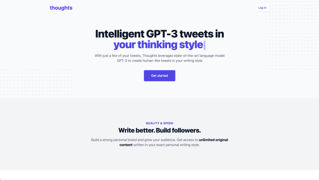
We live in a world where Artificial Intelligence (AI) is becoming increasingly prevalent and changing the way we interact with technology. One of the latest developments is GPT-3, an AI system designed to generate human-like text. In this article, we'll explore how GPT-3 can be used to create AI-generated tweets based on our thoughts. We'll examine the potential of this technology and explore the implications of this new form of AI-driven communication.
Contact for Rates
#Content Generation

Top Rated Tools
-
Repl.it
Replit: the collaborative browser based IDE - Replit
Free #Code Assistant -
Zapier
OpenAI (Makers of ChatGPT) Integrations | Connect Your Apps with Zapier
Contact for Rates #Automation -
RestorePhotos
Face Photo Restorer
Free #Image Editing -
GPT-3 Alzheimer
Predicting dementia from spontaneous speech using large language models | PLOS Digital Health
Contact for Rates #Healthcare -
Caktus
AI solutions for students to write essays, discuss questions, general coding help and professional job application help.
Freemium #Life Assistant -
Resume Worded
Resume Worded - Free instant feedback on your resume and LinkedIn profile
Free #Life Assistant -
Landr
LANDR: Creative Tools for Musicians
Paid #Music Generation -
Voice.ai
Custom Voice Solutions
Free #Chatbot


GeoMesa is a comprehensive open source software library that enables spatio-temporal analytics. In today's world, data analytics has become an integral part of understanding the dynamics of various domains. However, with the ever-increasing amount of data being generated, analyzing this data has become a challenging task. GeoMesa has emerged as a powerful tool to deal with the complexities of spatio-temporal data by providing an efficient and scalable platform for data management and analysis. With its ability to work with multiple data formats and support for various spatial indexes, GeoMesa makes it easy for developers to work with data from different sources. GeoMesa has been widely used in various domains such as agriculture, transportation, and environmental studies. It has also been used for analyzing data from satellites, drones, and other remote sensing platforms. In this paper, we will discuss the features of GeoMesa, its advantages, and its applications in various domains. We will also explore some examples of how GeoMesa has been used in real-world scenarios.

Top FAQ on GeoMesa
1. What is GeoMesa?
GeoMesa is an open-source software library designed to support spatio-temporal analytics for large datasets.
2. What kind of data does GeoMesa work with?
GeoMesa can work with a wide range of geospatial data, including vector and raster data, satellite imagery, and sensor data.
3. What programming languages does GeoMesa support?
GeoMesa is written in Scala, but it provides interfaces for use with Java, Python, and SQL.
4. Can GeoMesa handle real-time data streams?
Yes, GeoMesa includes tools for processing and analyzing real-time data streams in addition to batch processing.
5. What types of analytics can be performed with GeoMesa?
GeoMesa supports a variety of spatio-temporal analytics, including spatial queries, temporal queries, spatial joins, and spatial clustering.
6. Is GeoMesa scalable to handle large datasets?
Yes, GeoMesa is designed to scale horizontally to handle very large datasets.
7. Is GeoMesa compatible with other geospatial software?
Yes, GeoMesa is designed to work with a variety of other geospatial software, including QGIS, GeoServer, and ArcGIS.
8. Is GeoMesa suitable for use in a cloud environment?
Yes, GeoMesa is designed to work well in cloud environments, including Amazon Web Services and Microsoft Azure.
9. Is there support available for GeoMesa?
Yes, commercial support for GeoMesa is available from companies such as CCRi, the primary developer of GeoMesa.
10. Can GeoMesa be used for non-commercial purposes?
Yes, GeoMesa is licensed under an Apache 2.0 license, which allows for both commercial and non-commercial use.
11. Are there any alternatives to GeoMesa?
| Competitor | Description | Difference |
|---|---|---|
| GeoSpark | An open source cluster computing system for processing large-scale spatial data | GeoSpark focuses on distributed computing while GeoMesa is a software library for spatio-temporal analytics |
| PostGIS | A spatial database extender for PostgreSQL | PostGIS is a database extension while GeoMesa is a software library |
| Hadoop GIS | An extension to Hadoop that provides geospatial processing capabilities | Hadoop GIS is focused on big data processing while GeoMesa is focused on spatio-temporal analytics |

Pros and Cons of GeoMesa
Pros
- Provides comprehensive support for spatio-temporal data analysis and management
- Offers a scalable and distributed architecture that can handle large datasets
- Supports a wide range of data formats, including geospatial data in different projections and coordinate systems
- Includes advanced indexing and querying capabilities for efficient data retrieval and processing
- Integrates with popular big data platforms like Apache Hadoop and Apache Spark
- Provides a flexible and extensible framework for developing custom applications and workflows
- Offers a rich set of geospatial functions and operators for performing spatial analysis and modeling
- Enables easy integration with other open source geospatial tools and libraries
- Comes with extensive documentation, tutorials, and community support.
Cons
- Steep learning curve for beginners
- Requires significant computational resources to operate effectively
- Limited documentation and support compared to commercial alternatives
- Lack of user-friendly graphical interface may discourage some users
- Integration with other software may require additional development effort
- Some features may not be fully optimized or tested for all use cases
- Limited community contributions and updates may affect long-term sustainability

Things You Didn't Know About GeoMesa
GeoMesa is a comprehensive open-source software library that enables users to perform spatio-temporal analytics on large datasets. It is designed to handle big data and offers support for distributed computing systems such as Apache Hadoop and Apache Spark.
The primary objective of GeoMesa is to provide an efficient and scalable solution for the analysis of geospatial data, including location-based data and time-series data. It also integrates with popular geospatial tools and databases such as Open Geospatial Consortium (OGC) and PostGIS.
GeoMesa offers several key features that make it a valuable tool for spatio-temporal analytics. One of its most significant features is its ability to handle massive datasets, which is crucial for organizations that deal with large volumes of data. This feature is supported by the use of distributed computing systems, which enable GeoMesa to process data across multiple nodes simultaneously.
Another important feature of GeoMesa is its support for a wide range of geospatial formats and standards. This allows users to easily import, export, and analyze geospatial data from various sources, making it a flexible tool for diverse applications.
In addition, GeoMesa provides advanced querying capabilities through its support for GeoTools and GeoServer. These tools allow users to perform complex queries and visualizations, as well as create custom workflows for data processing.
One of the benefits of using GeoMesa is the availability of comprehensive documentation and community support. The project is actively maintained and updated, with contributions from a large community of developers and users.
Overall, GeoMesa is a powerful and flexible tool for spatio-temporal analytics that can handle large datasets and integrate with a variety of geospatial tools and databases. Its advanced querying capabilities and community support make it an attractive option for organizations looking to analyze geospatial data.
Get in touch with GeoMesa

edited by
Emily Collins is a freelance writer with over a decade of experience in the field. Emily has a passion for all things tech, especially AI-powered tools and GPT-3 & GPT-4 apps. She is a self-proclaimed geek and developer, always looking for the latest and greatest in software and coding. When she's not writing, Emily can usually be found tinkering with her computer, playing video games, or reading science fiction novels. With her unique combination of writing skills and tech expertise, Emily is a valuable asset to any project she takes on.


